South Saskatchewan River walleye fishing access
Finding convenient, legal, and safe shore access or boat launches along the South Saskatchewan River can be an exercise in frustration. Steep coulees, private agricultural land, and unpredictable water levels often block anglers from reaching some of the finest walleye water in southern Alberta. This guide breaks down the top public access points, boat ramps, and shoreline spots across the South Saskatchewan River system, helping you spend less time searching for a way down to the water and more time hooking into hard-fighting prairie walleye.
Key Public Shoreline and Boat Access Points on the South Saskatchewan River
The South Saskatchewan River forms at the confluence of the Bow and Oldman Rivers in southern Alberta and winds its way eastward through big sky prairie country, slicing deeply through Medicine Hat before crossing into Saskatchewan. Because much of the river is bordered by high, crumbling shale cliffs and private ranchland, knowing precisely where public access exists is critical for a smooth day on the water.
Whether you are launching a full-sized jet boat, dropping a kayak, or simply walking the bank with a rod and a box of jigs, the river offers several distinct access zones. Each zone comes with its own set of advantages regarding water clarity, current speed, and proximity to prime walleye holding structures.
Medicine Hat Urban Access Points
The city of Medicine Hat serves as the primary hub for anglers targeting South Saskatchewan walleye. Running straight through the heart of the municipality, the river is easily accessible via several well-maintained municipal parks that offer gentle bank slopes, paved trails, and ample parking.
- Police Point Park: Located on a massive bend in the river on the northeast side of town, Police Point Park offers miles of shoreline walking paths. The river here slows down slightly as it rounds the point, creating extensive gravel bars and deep slack-water eddies. It is one of the premier locations for bank anglers casting soft plastic jigs or live-bait rigs during the morning and evening feeding windows.
- Strathcona Island Park: Situated closer to the center of Medicine Hat, Strathcona Island Park features manicured green spaces, public washrooms, and easy access to the river’s edge. The park borders a deep outer channel where walleye frequently cruise past submerged timber and bridge footings. The gentle bank slope makes landing fish straightforward, making it an ideal spot for families or anglers looking for an effortless evening cast.
- Kinsmen Heritage Park & Riverfront Trail: For those who want quick access within city limits, the trail system along the river provides quick paths down to riprap banks. The rocky shoreline behind downtown provides excellent cover for baitfish, which in turn draws hungry walleye right up to the shoreline drop-offs.
When fishing within municipal boundaries, always respect park hours and local bylaws regarding parking and night access. If you are visiting from out of town and want to survey these urban waters with an experienced skipper before heading out alone, checking platform options like FishingBooker can connect you with local river guides who know every gravel bar between the city limits.
Outlying Boat Launches and Public Ramps
If you plan to launch a motorboat, drift boat, or heavy fishing kayak, you will need dedicated ramp facilities that can handle vehicles and trailers without getting stuck in soft river mud.
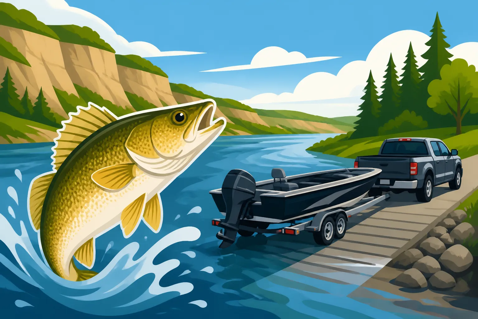
- Echo Dale Regional Park: Located just west of Medicine Hat, Echo Dale Regional Park is one of the most reliable access points for boaters and shore anglers alike. The park features a concrete boat launch that allows motorized craft to enter the river safely. The stretch of river immediately surrounding Echo Dale consists of deep pools, rock ledges, and gravel runs that hold solid numbers of walleye throughout the spring and summer months. Shore anglers can also walk the park’s perimeter trails to access promising tailrace-style currents and gravel points.
- Redcliff Access: Downstream from Echo Dale near the town of Redcliff, informal access roads lead down to the water near historical industrial sites and gravel flats. While launching a heavy trailered boat here can be tricky depending on recent rainfall and mud conditions, it is a fantastic site for launching canoes, kayaks, or belly boats. The water around Redcliff features sharp drop-offs near the main channel where walleye settle during bright afternoon conditions.
Before backing a trailer down any river ramp, always inspect the water’s edge on foot. Shifting silt and high spring runoff can deposit underwater mud banks or pull gravel away from the foot of concrete ramps, creating hidden drop-offs that can trap boat trailers.
Rural Access Near the Confluence and Remote Stretches
For anglers seeking solitary fishing away from urban parks, moving upstream toward the confluence or downstream toward the provincial border yields incredible rewards. However, public access becomes significantly sparser in these rural agricultural stretches.
Upstream near the confluence of the Bow and Oldman Rivers—often referred to as “The Forks”—the river broadens out significantly. Navigating this area requires careful attention to land ownership, as much of the surrounding terrain is private deeded pasture. Anglers looking to explore these upper stretches often launch near Bow Island or at county bridge crossings where public right-of-ways meet the water.
If you are exploring the region for the first time, you can often arrange customized float trips through local outfitters listed on FishingBooker to learn the nuances of navigating shallow gravel bars safely. Shore anglers accessing rural bridge crossings must ensure their vehicles are parked entirely off county road shoulders and that they remain strictly within the public high-water mark to avoid trespassing on private agricultural land.
| Access Location | Access Type | Target Craft | Key River Features |
|---|---|---|---|
| Police Point Park | Shoreline / Park | Foot Traffic | Deep bends, slack water, sandbars |
| Strathcona Island Park | Shoreline / Park | Foot Traffic / Kayak | Bridge pilings, riprap, drop-offs |
| Echo Dale Regional Park | Concrete Ramp | Trailered Boats | Deep river pools, rock ledges |
| Redcliff River Edge | Informal / Mud | Kayaks / Canoes | Main channel seams, gravel runs |
| County Bridge Crossings | Road Right-of-Way | Foot / Small Kayaks | Bridge scour holes, drift seams |
Understanding River Structure and Walleye Behavior on the South Saskatchewan
Finding access is only half the battle; once you reach the water, understanding how walleye use the dynamic environment of the South Saskatchewan River is essential for consistent action. Unlike quiet lakes, a large prairie river system presents shifting currents, varying turbidity, and seasonal flow swings that force fish to move regularly.
Walleye are opportunistic predators designed to conserve energy while hunting in moving water. They rarely sit in the middle of a heavy current. Instead, they position themselves on the exact boundary where fast water meets slow water—a boundary known to river anglers as a current seam.
Navigating Shifting Sandbars and Deep Trench Pools
The bed of the South Saskatchewan River is primarily composed of shifting sand, fine gravel, and scattered cobble. Because sand moves continuously under the force of the current, the riverbed undergoes subtle changes every year following spring ice-out and high-water flooding.
- Trench Pools: Deep trenches carved into the riverbed—often located along the outside edges of sharp river bends or immediately below major gravel bars—provide crucial sanctuary for walleye during high-intensity sun. In these deep trenches, water pressure slows down near the river bottom, allowing fish to rest without fighting the main current while waiting for prey to drift downstream.
- Sandbar Drop-Offs: Extensive sandbars extend into the river from inside bends and island tips. Where the shallow sandbar drops off suddenly into deeper water, walleye gather in large schools. During dawn, dusk, or overcast days, fish move up onto the flat tops of these sandbars to hunt for minnows and goldeye fry.
- Submerged Debris and Boulders: While trees are less dense along prairie rivers than in northern boreal forests, submerged cottonwood logs and large glacial boulders create high-value habitat. A single large log resting on the riverbed can create a current break that holds a dozen or more mature walleye.
Anglers utilizing Best Kayak Fishing Spots in Alberta will find that propelled or paddle kayaks offer an ideal way to stealthily approach these shallow sandbar edges without scaring fish in clear water conditions.
Seasonal Movements and Water Conditions
Walleye behavior on the South Saskatchewan shifts dramatically throughout the calendar year, directly tied to water temperature, flow volume, and clarity.
During early spring after the ice breaks up, walleye prepare for their annual spawn. They seek out areas with clean cobble or coarse gravel where water velocities remain steady but moderate. During this period, fish congregate in huge numbers near primary river structures. Anglers should consult How to Catch Walleye in Alberta for foundational rigging techniques that keep lures working close to the bottom without snagging continuous river debris.
By mid-summer, water levels drop and clarity generally improves, though high mountain snowmelt can temporarily cause muddy conditions. Summer walleye spread out along main river channels, actively feeding near deep current seams and shaded rocky structures. When temperatures rise during the hottest weeks of July and August, fishing late into the evening or after dark becomes exceptionally productive. Exploring Night Fishing for Walleye in Alberta strategies will yield heavy fish when daytime activity slows to a crawl under bright sunshine.
As autumn approaches, water temperatures cool and walleye enter a heavy feeding phase to build reserves for the coming winter. Autumn is widely considered the best season for landing large, heavy-bodied trophy walleye on the South Saskatchewan River. Fish consolidate into the deepest wintering holes on the river, making them easier to locate with basic sonar or carefully structured shore casts.
| Season | Water Conditions | Walleye Location | Recommended Presentation |
|---|---|---|---|
| Early Spring | High flow, cold, turbid | Gravel shoals, slack eddies | Heavy jigs with soft plastics |
| Mid-Summer | Moderate flow, warm, clear | Deep seams, rock ledges | Crankbaits, live bait rigs |
| Early Autumn | Low flow, cooling, clear | Trench pools, main channel | Vertical jigging, blade baits |
| Late Autumn | Very low flow, cold, clear | Wintering deep holes | Slow-presented jig and bait combo |
Tactical Tips for Accessing and Landing South Saskatchewan Walleye
Mastering river walleye requires adjusting your tackle and approach to handle heavy current, abrasive rocks, and sharp-eyed fish. A setup that works perfectly on a calm inland lake may fail when cast into a three-knot river current flowing over sharp gravel beds.
Shore anglers face different challenges than boaters, particularly regarding gear management, safety along unstable banks, and landing large fish without a boat deck beneath their feet.
Gear, Rigging, and Safety Shore-side
When walking the banks of the South Saskatchewan River, mobility and efficiency are key. Carrying too much heavy gear limits your ability to walk between productive bends, while carrying too little leaves you unprepared for frequent snags.
- Rods and Lines: A medium to medium-heavy spinning rod ranging from 7 feet to 8 feet 6 inches in length provides the casting distance required to reach far current seams from shore. Pair this with a smooth 2500 or 3000 size spinning reel spooled with 12 to 15-pound braided line. Braid offers exceptional strength and zero stretch, allowing you to feel subtle walleye bites through heavy current. Always tie on a 2 to 3-foot leader of 10 to 12-pound fluorocarbon to prevent sharp rocks and mussels from cutting your main line.
- Terminal Tackle Selection: Stock your tackle box with an assortment of jig heads ranging from 1/4 ounce up to 3/4 ounce. Matching your jig weight to the current speed is crucial: if your jig is too light, the current will sweep it up off the bottom out of the strike zone; if it is too heavy, it will wedge permanently between bottom stones. Check out Best Tackle for Alberta Walleye for a complete breakdown of essential lure patterns, hook choices, and soft plastic profiles that perform consistently in prairie waters.
- Bank Safety: The banks along the South Saskatchewan River can be notoriously deceiving. Soft mud deposits near the water’s edge can sink under a person’s weight, while steep shale banks are prone to mini-slides. Wear sturdy footwear with aggressive rubber treads, carry a small headlamp for early morning or late evening walks, and always let someone know where you plan to enter and exit the river corridor.
If you are looking for additional bank fishing venues across the province after exploring Medicine Hat, reviewing Best Shore Fishing Spots in Alberta will give you a broader list of accessible shorelines.
Boat and Kayak Launch Considerations
Navigating a vessel on a large prairie river requires constant vigilance. The South Saskatchewan River is non-tidal, but water flows fluctuate based on dam releases upstream on both the Bow and Oldman river systems, as well as agricultural irrigation demands.
- Propeller vs. Jet Outboards: While prop-driven outboard motors can navigate the main channel, anglers using standard outboards must exercise extreme caution. Gravel bars can rise from ten feet of depth to six inches of depth in a matter of yards. Jet-drive outboard engines are the preferred choice for motorboating on the river, allowing skippers to skim safely over shallow river runs between deeper trench pools.
- Paddling and Anchoring Safety: Kayak anglers should never anchor in fast river currents using standard bow-and-stern anchor ropes without a quick-release mechanism. If an anchor gets snagged on the riverbed in swift water, the pressure of the current against the boat hull can easily flip the kayak upstream. Use an anchor trolley system equipped with a quick-release cleat, or pull your craft onto exposed gravel bars to fish deep runs safely from dry land.
- Exploring Adjacent Waters: While walleye are the undisputed kings of the South Saskatchewan system, they share the current with several other aggressive native species. If you enjoy multi-species action while out on the water, spend some time reviewing South Saskatchewan River pike fishing access to learn where northern pike hide out in calm backwaters and weed beds connected to the main river channel.
Anglers hiring local guides through platform listings on FishingBooker can often gain valuable first-hand experience on how experienced river captains read shallow water hazards and maneuver heavy craft safely through tricky river bends.
Before heading out on your fishing trip, ensure that your licensing and tags are completely in order. Every resident and non-resident angler must hold a valid wild identification number and sportfishing license before dropping a line in Alberta waters. You can easily purchase your permit online via official portals prior to reaching the riverbank; for step-by-step instructions, see How to Buy an Alberta Fishing License Online.
Additionally, make sure you strictly follow regional harvest regulations, length limits, and catch-and-release rules specific to the South Saskatchewan River drainage zone. For a detailed breakdown of daily catch limits, possession thresholds, and size restrictions across different game species, refer to Alberta Walleye Limit by Zone and Alberta Fishing Regulations Explained to remain fully compliant on the water.
Comparison of Target Species in the South Saskatchewan River
While walleye remain the main draw for river anglers, the South Saskatchewan River supports a diverse ecosystem of sport fish. Understanding how walleye compare to other prominent species in terms of habitat preferences and fight characteristics helps you adapt your tactics on the water.
| Species | Preferred Water Type | Best Time of Day | Common Catch-Method |
|---|---|---|---|
| Walleye | Deep seams, gravel drop-offs | Dawn, Dusk, Night | Jigging soft plastics, minnow rigs |
| Northern Pike | Quiet backwaters, weed edges | Mid-morning, Early afternoon | Large spoons, inline spinners |
| Goldeye | Surface eddies, warm flats | Sunny afternoons | Small spinners, float-rigged flies |
| Sauger | Turbid main channels | Low-light hours | Small jigs fished right on bottom |
| Lake Sturgeon | Deepest trench holes | Night, Late Evening | Bottom-rigged heavy bait setups |
By taking time to scout public access points along Medicine Hat’s park system, Echo Dale Regional Park, or surrounding county bridge rights-of-way, you can reliably reach high-quality walleye habitat year after year. Respect the power of the river’s current, watch out for shifting sandbars, pack appropriate tackle, and enjoy world-class prairie river fishing right here in southern Alberta.
Disclaimer
This article is for general informational purposes only and does not constitute professional advice. Laws, prices and regulations vary by location and change over time. Consult a qualified professional for guidance on your specific situation.